Our route for today is here.
Our cumulative route is here.
“Dude, you really are lost aren’t you?”
Man at locked gate, when asked where objects, within sight, were located
Our day had been a great day until that point.
Dad, Doug, Meredith, and I had ridden from Lake City, CO in the morning to South Fork, CO on asphalt.
We were sticking to the Continental Divide Trail for most of the day.
At South Fork, we turned southwest and picked up Rio Grande National Forest road 380 and started ascending towards the tiny town of Summitville.
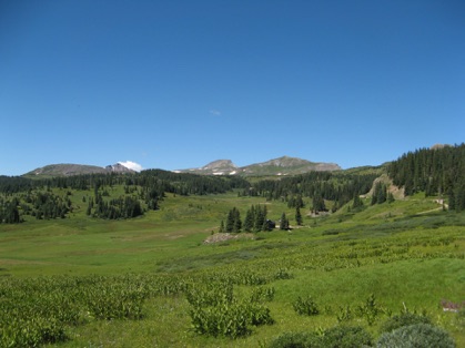
Summitville was on a spur off the main road, so we didn’t ride through it.
On down the road, we dropped down in elevation and then climbed Stunner Pass, and it was a stunner. The contrast of green and blue was great.
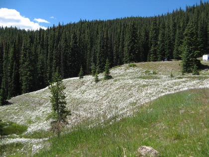
Descending Stunner Pass, we rode down into the little village of Platoro, at the headwaters of the Conejos River, a stunning river with a few fly fishermen. One of the fisherman was dipping a nice Rainbow trout as we rode by.
Within twenty miles, Colorado Highway 17 showed itself and we turned west for a few miles.
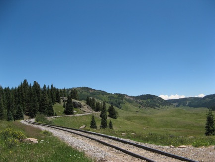
A few miles after crossing the railroad, we crossed into New Mexico and Carson National Forest.
Our objective was to ride the perimeter of Cruces Basin Wilderness Area.
I was following Forest Road 87 when we came to a Y in the road. My GPS said go left, the much rougher, narrower road. My instincts said go right, on the much smoother, wider road.
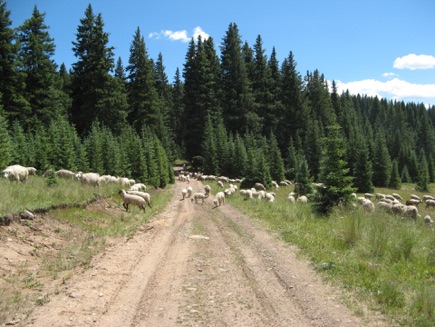
Well, I didn’t follow my mantra and we ended up at a locked gate, talking to the “nice” fellow from above.
After he drove off, we discussed our options. Dad didn’t think he had enough gas to make it to Taos, and, after retracing our steps to the smaller, bumpier, muddier, rockier, narrower road, we decided we’d chance it with his bike and we started up the hill.
The road hadn’t been maintained in years and was littered with mudholes and ruts from vehicles.
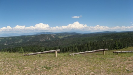
In a few miles and a very rocky uphill later, we reached the Cruces Basin Wilderness lookout area, where we were able to see all the way to the Sangre de Cristo mountain range and the Rio Grande River Valley in between.
We enjoyed the view and then looked behind us and saw the building thunderhead and decided we better get moving.
A few hours later, Dad rolled into Taos on reserve. Whew!
We then made it to our place in the Moreno Valley very quickly. We’re gonna spend maybe a week here before we resume our trip. See y’all down the trail.

